LOW
Heaps and blankets
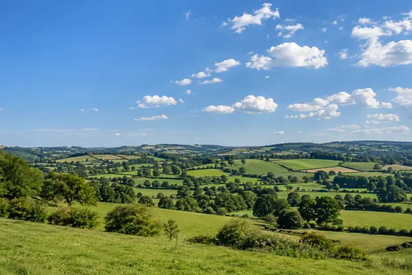
Cumulus are the puffy, cauliflower-shaped clouds of fair days. Stratus is the flat grey blanket, sometimes low enough to be mist or fog.
Name a cloud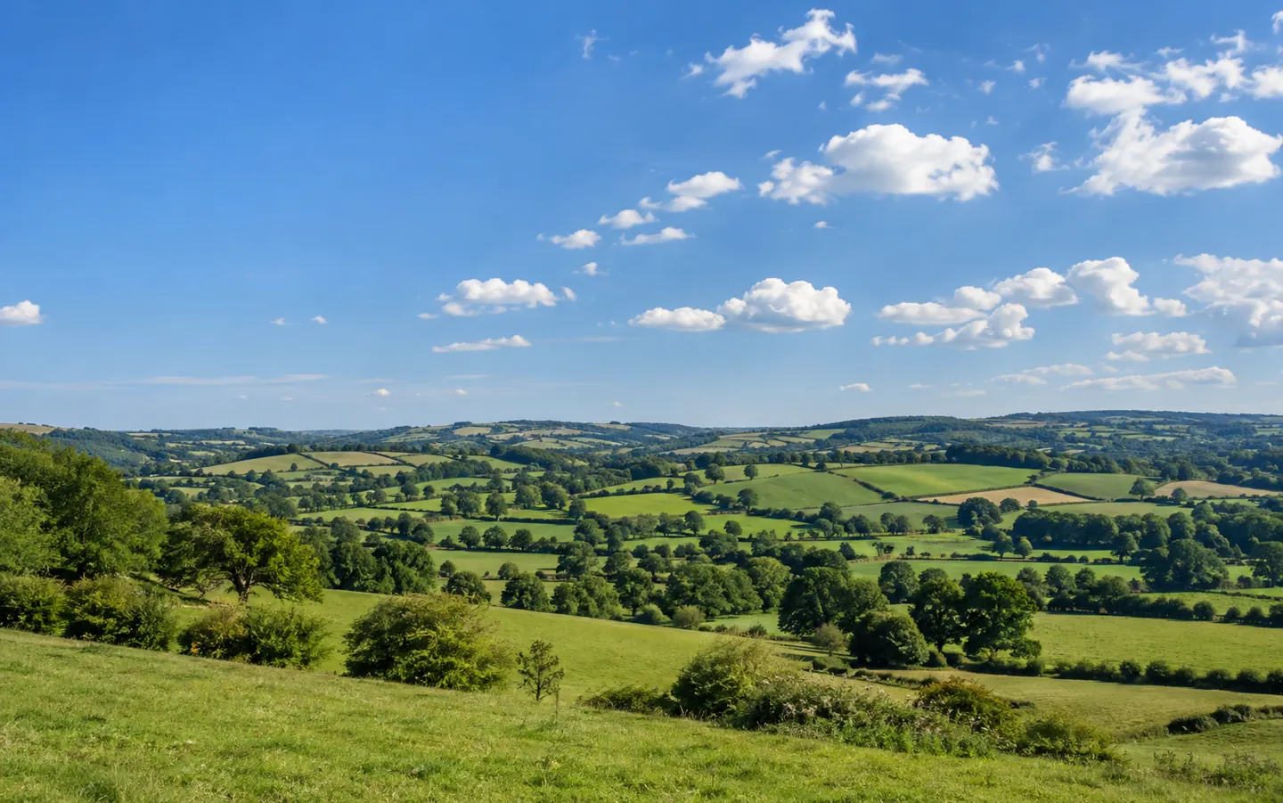
A FIELD GUIDE TO THE SKY
10 FORMS 3 levels, 1 sky
AI-generated image, not a photograph of a real person or place.
Every cloud has a name, and the name tells you something.
Meteorologists sort clouds into ten main forms by their shape and height. Learn a few Latin words and a handful of clues, and the sky starts to read like a forecast.
THE SHORT ANSWER
The World Meteorological Organization lists ten main cloud groups.
Each cloud belongs to one, and only one.
LOW
Cumulus are the puffy, cauliflower-shaped clouds of fair days. Stratus is the flat grey blanket, sometimes low enough to be mist or fog.
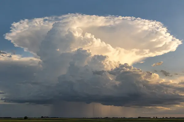
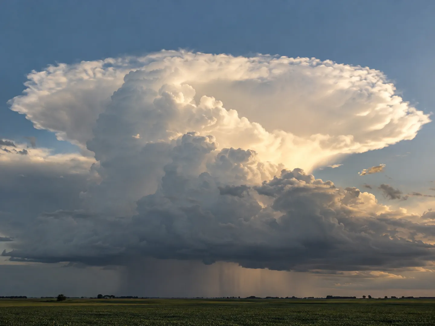
Name a cloudSTORM
Cumulonimbus can tower through the whole lower atmosphere. The Met Office says it is the only cloud that can produce hail, thunder and lightning.
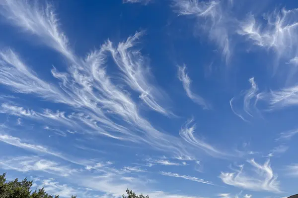
See the numbersHIGH
Cirrus floats at 20,000 to 40,000 ft and is made entirely of ice crystals. It often forms ahead of a warm front, a sign the weather may change.
How to spot them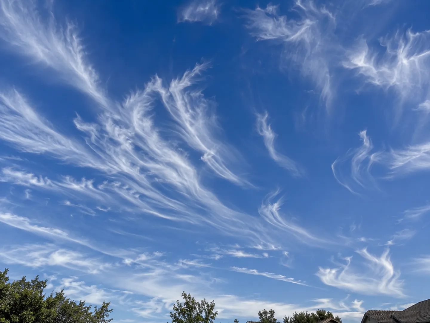
HOW TO SPOT THEM
You do not need any equipment. Weather observers do the same three things: judge the height, read the shape and watch how the sky changes.
Over the British Isles, low cloud bases sit below 6,500 ft, mid-level ones between 6,500 and 20,000 ft and high ones above 20,000 ft.
Heaped and puffy is cumulus, flat and layered is stratus, and high and wispy is cirrus. Most names combine these.
The Sun still casts shadows through thin cirrostratus but often cannot through altostratus, which helps tell the two apart.
Cumulus can grow into cumulonimbus during a day, and altostratus can thicken into rain-bearing nimbostratus as a front arrives.
TWO NUMBERS WORTH KNOWING
One figure for how much of Earth is under cloud,
one for the cloud that covers the most of it.
≈ 67%
Share of Earth's surface typically under cloud
NASA's Earth Observatory says one study, based on nearly a decade of satellite data, estimated that about 67 percent of Earth's surface is typically covered by clouds.
CLOUD COVER · NASA
≈ 1/5
Earth's surface covered by stratocumulus
Marine stratocumulus is the most common cloud type in the world by area. NASA says stratocumulus typically covers about one fifth of Earth's surface.
STRATOCUMULUS · NASA
NASA also notes that over the oceans less than 10 percent of the sky is completely clear at any one time, while over land about 30 percent of skies are cloud free.
WHAT CLOUD IS THAT?
Pick the cloud that best matches your sky to see what the Met Office says it usually brings. The bar shows how likely that cloud is to mean wet or changing weather.
Based on the Met Office's guides to low, mid-level and high clouds. Clouds are clues, not a forecast: check an official forecast before heading out.
WHERE THE NAMES CAME FROM
The Met Office says cloud classification was first proposed in 1802 by Luke Howard, a London pharmacist and amateur meteorologist. His three main types, stratus, cumulus and cirrus, are still the basis of the system we use today.
The World Meteorological Organization later extended Howard's scheme into ten main groups called genera. Its International Cloud Atlas gives observers around the world a common language, so a cumulus reported in Britain means the same as one reported anywhere else.
In conversation
The World Meteorological Organization's International Cloud Atlas lists ten main groups, called genera. Each observed cloud belongs to one, and only one, genus. Most genera are then divided into species and varieties.
Stratus means flat or layered, cumulus means heaped up, cirrus means high and wispy, alto means medium level and nimbus means rain-bearing. Nimbostratus, for example, is a flat, layered cloud that can bring rain.
Tiny water droplets, about a hundredth of a millimetre across, or ice crystals if the cloud is high and cold enough. The Met Office explains that water vapour itself is invisible; it is the condensed droplets that make a cloud visible.
Cumulonimbus. The Met Office says it is the only cloud type that can produce hail, thunder and lightning. If there is thunder, lightning or hail, the cloud is a cumulonimbus rather than a nimbostratus.
Cirrocumulus can look like the scaly skin of a fish and is then called a mackerel sky. The Met Office says it is usually linked with fair weather, but its appearance can come before stormier weather.
Each figure on this page comes from the sources below.
ABOUT THIS NAME
doodleformz.com is part of the DoodleSale portfolio. It isn't in an auction right now, but you can ask about leasing it.